
Restr:1570 Typus Ortelius mr.jpg
Restr orin (6 736 × 5 160 piksel, ment ar restr : 32,58 Mio, seurt MIME : image/jpeg)
![]()
| Tennet eo ar restr-mañ eus Wikimedia Commons ha gallout a ra bezañ implijet evit raktresoù all. Diskouezet eo deskrivadur he fajenn zeskrivañ amañ dindan. |
Diverradur
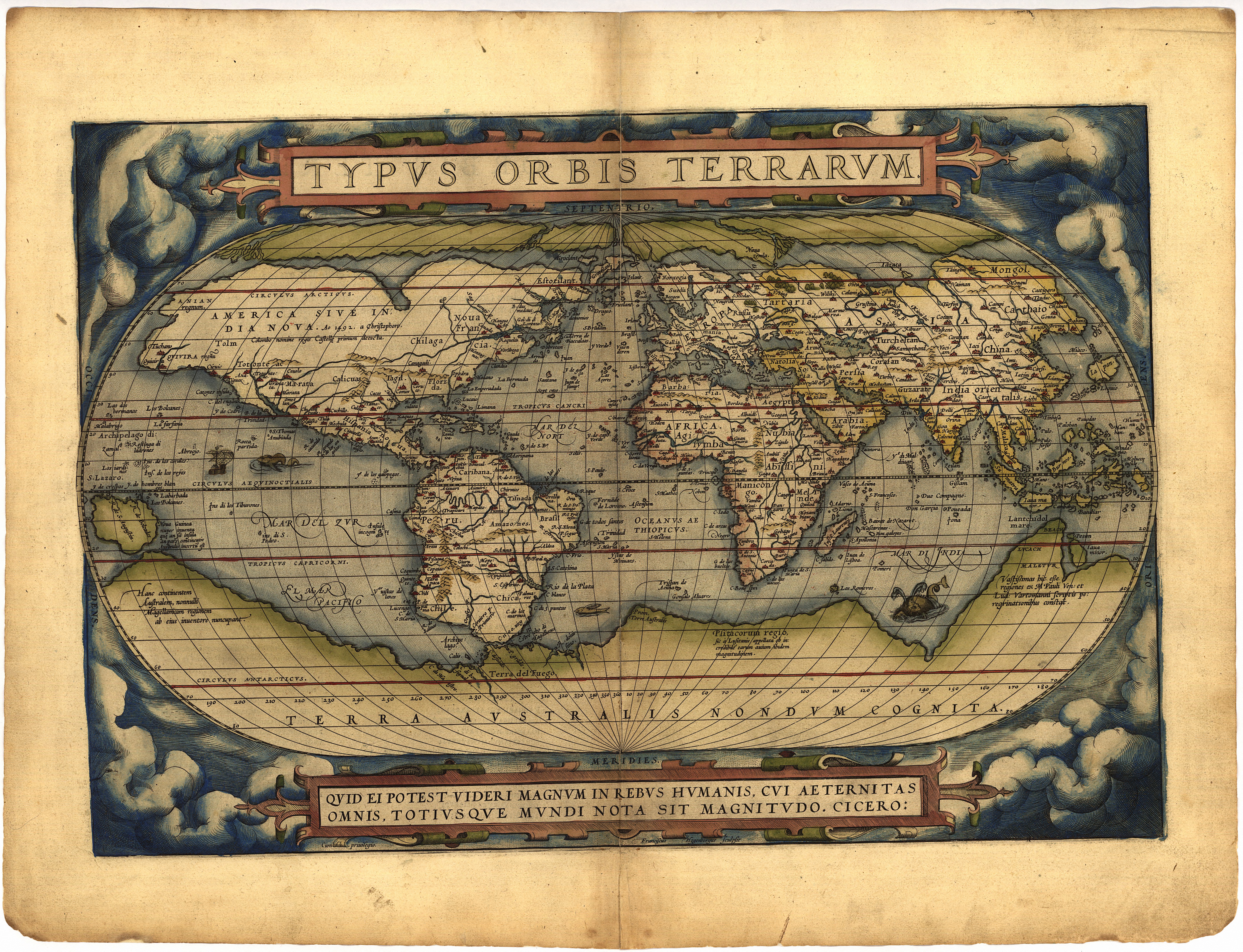
| Deskrivadur | World map; title:Typus Orbis Terrarum; size: 340 x 494 mm | |||||||||||||||||||||||
| Deiziad | ||||||||||||||||||||||||
| Mammenn | Euriskodata CDrom | |||||||||||||||||||||||
| Aozer |
|
|||||||||||||||||||||||
| Stummoù all |
Orteliusmaps.com
|
|||||||||||||||||||||||


Aotre-implijout
This image is in the public domain because it is a mere mechanical scan or photocopy of a public domain original, or – from the available evidence – is so similar to such a scan or photocopy that no copyright protection can be expected to arise. The original itself is in the public domain for the following reason:
This tag is designed for use where there may be a need to assert that any enhancements (eg brightness, contrast, colour-matching, sharpening) are in themselves insufficiently creative to generate a new copyright. It can be used where it is unknown whether any enhancements have been made, as well as when the enhancements are clear but insufficient. For known raw unenhanced scans you can use an appropriate {{PD-old}} tag instead. For usage, see Commons:When to use the PD-scan tag.  | ||||
Istor ar restr
Klikañ war un deiziad/eur da welet ar restr evel ma oa da neuze.
| Deiziad/Eur | Munud | Mentoù | Implijer | Notenn | |
|---|---|---|---|---|---|
| red | 5 Kzu 2010 da 17:02 | | 6 736 × 5 160 (32,58 Mio) | Joopr | Nu ook het complete beeld |
| 5 Kzu 2010 da 16:44 |  | 6 436 × 4 158 (26,88 Mio) | Joopr | Veel betere resolutie | |
| 22 Du 2007 da 09:54 |  | 1 500 × 1 036 (2,02 Mio) | Joopr | {{Information |Description=World map; title:Typus Orbis Terrarum; size: 340 x 494 mm |Source=http://www.orteliusmaps.com |Date=1570 |Author=Ortelius |Permission= |other_versions= }} |
Implij ar restr
Implijout a ra ar bajenn da heul ar restr-mañ :
Implij hollek ar restr
Ober a ra ar wikioù da-heul gant ar restr-mañ :
- Implij war be.wikipedia.org
- Implij war da.wikipedia.org
- Implij war fr.wikipedia.org
- Implij war fy.wikipedia.org
- Implij war he.wikipedia.org
- Implij war it.wikipedia.org
- Implij war nl.wikipedia.org
- Implij war no.wikipedia.org
- Implij war ru.wikipedia.org
- Implij war scn.wikipedia.org
- Implij war sv.wikipedia.org
- Implij war uk.wikipedia.org
- Implij war uk.wiktionary.org