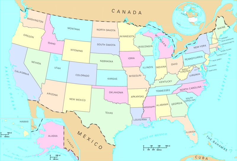
Restr:US map - states.png
Neuz

Ment ar rakweled-mañ : 800 × 542 piksel. pizhderioù all : 320 × 217 piksel | 640 × 433 piksel | 1 024 × 694 piksel | 1 478 × 1 001 piksel.
Restr orin (1 478 × 1 001 piksel, ment ar restr : 356 Kio, seurt MIME : image/png)
Istor ar restr
Klikañ war un deiziad/eur da welet ar restr evel ma oa da neuze.
| Deiziad/Eur | Munud | Mentoù | Implijer | Notenn | |
|---|---|---|---|---|---|
| red | 12 Mae 2008 da 15:46 |  | 1 478 × 1 001 (356 Kio) | Jon Harald Søby | cropped to remove watermarks |
| 12 Du 2004 da 15:08 |  | 1 584 × 1 224 (243 Kio) | Duesentrieb | States of the US; Dept. of Interior, Public Domain |
Implij ar restr
Pajenn ebet ne implij ar restr-mañ.
Implij hollek ar restr
Ober a ra ar wikioù da-heul gant ar restr-mañ :
- Implij war bs.wikipedia.org
- Implij war cy.wikipedia.org
- Implij war fr.wikipedia.org
- Implij war hr.wikipedia.org
- Implij war nds-nl.wikipedia.org
- Implij war ro.wikipedia.org
- Implij war simple.wikipedia.org
- Implij war simple.wiktionary.org
- Implij war sl.wikipedia.org
- Implij war vls.wikipedia.org


