
Restr:Southernmost point buoy, NE view.jpg
Ment ar rakweled-mañ : 800 × 533 piksel. pizhderioù all : 320 × 213 piksel | 640 × 427 piksel | 1 024 × 682 piksel | 1 280 × 853 piksel | 2 560 × 1 706 piksel | 4 000 × 2 666 piksel.
Restr orin (4 000 × 2 666 piksel, ment ar restr : 4,12 Mio, seurt MIME : image/jpeg)
![]()
| Tennet eo ar restr-mañ eus Wikimedia Commons ha gallout a ra bezañ implijet evit raktresoù all. Diskouezet eo deskrivadur he fajenn zeskrivañ amañ dindan. |
Diverradur
| Deskrivadur |
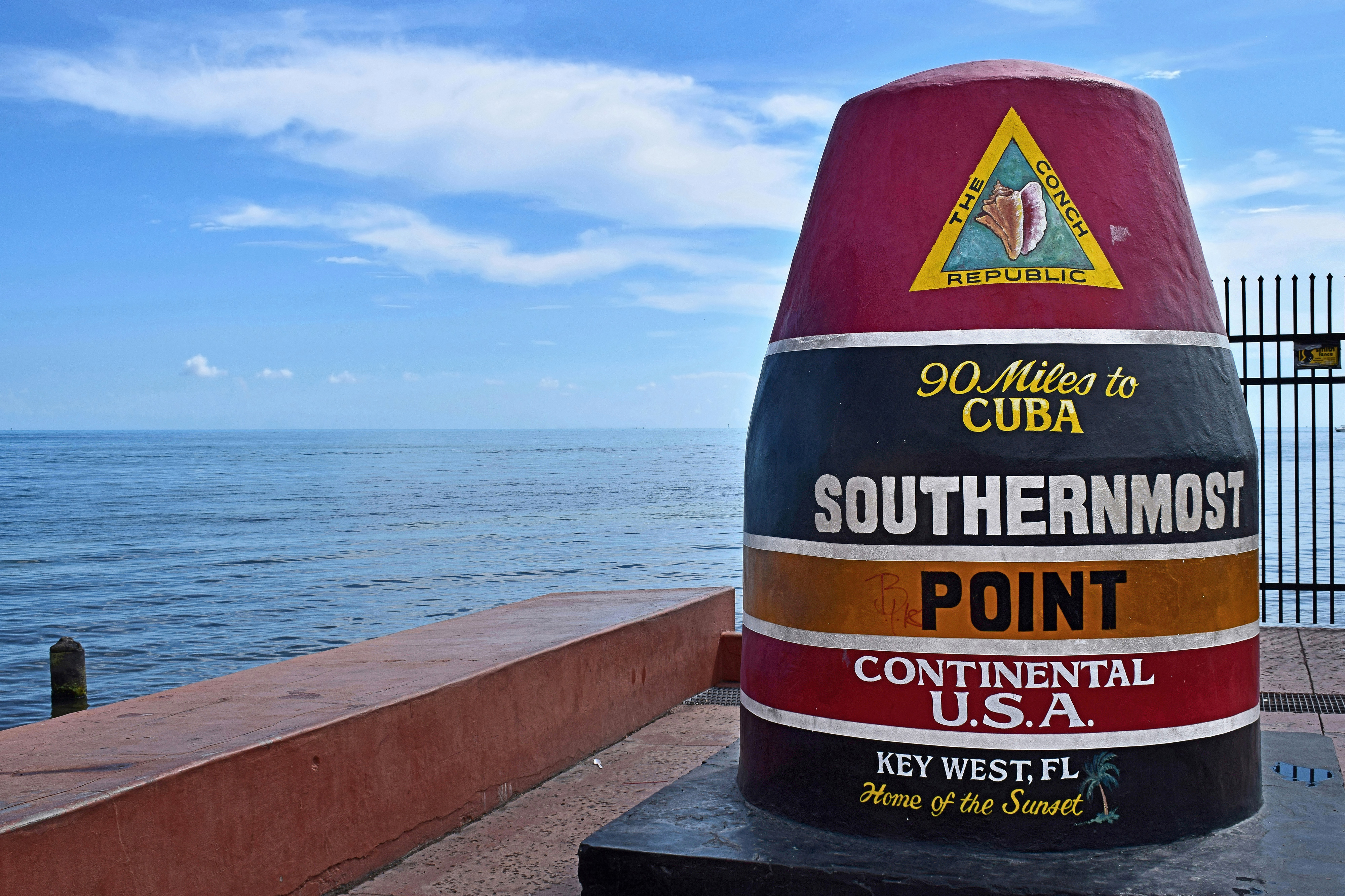
Polski: Najbardziej wysunięty na południe punkt Stanów Zjednoczonych w Key West, Floryda |
| Deiziad | Taken on 22 Eost 2018, 15:11:15 (UTC−5) |
| Mammenn | Labour an-unan |
| Aozer | Radomianin |
| Lec’h luc’hskeudennerez | | Gwelet al lec’h-se e : OpenStreetMap |
|---|
| Deroadenn (required by the license) | © Radomianin / Wikimedia Commons / CC BY-SA 4.0 |
| Using this image | You can use this image file free of charge under the terms of the free license CC BY-SA 4.0. In particular, this means:
|
| Editing this image |
|
Photo of the Southernmost point buoy, view from northeast. Contrary to the buoy inscription and file metadata, the Cuban mainland is about 153 km (95 statute miles) due south.
Assessment
This image has been assessed using the Quality image guidelines and is considered a Quality image.
|
Aotre-implijout
Evel perc'henn eus ar gwirioù oberour, e embannan an oberenn-mañ dindan an aotre-implijout da-heul :
Emañ ar restr-mañ dindan an aotre-implijout Creative Commons Attribution-Share Alike 4.0 International.
- Gallout a rit :
- eskemm – eilañ, skignañ ha treuzkas an oberenn-mañ
- kemmañ – azasaat an oberenn-mañ
- diouzh ma heuilhit kement-mañ :
- deroadenn – Rankout a rit reiñ an titouroù perc'henniezh rekis diwar-benn an aozer, pourchas ul liamm war-zu an aotre-implijout ha merkañ hag-eñ ez eus bet graet kemmoù. Gallout a rit en ober en un doare reizh met hep lakaat da grediñ ez oc'h bet aprouet gantañ pe ez eo aprouet gantañ implij an oberenn-mañ.
- eskemmañ rik-ha-rik – Ma tegasit kemmoù, ma treuzfurmit pe ma savit un dra bennak diwar an oberenn-mañ e rankit skignañ an oberenn krouet ganeoc'h dindan an hevelep aotre-implijout pe un aotre-implijout kar-tost d'an hini orin.
Istor ar restr
Klikañ war un deiziad/eur da welet ar restr evel ma oa da neuze.
| Deiziad/Eur | Munud | Mentoù | Implijer | Notenn | |
|---|---|---|---|---|---|
| red | 20 Du 2020 da 23:23 | | 4 000 × 2 666 (4,12 Mio) | Radomianin | slight noise reduction in the sky area |
| 4 Kzu 2018 da 11:33 |  | 4 000 × 2 666 (3,09 Mio) | Radomianin | Farbsättigung, Kontrast und Metadaten bearbeitet | |
| 27 Du 2018 da 10:55 |  | 4 000 × 2 666 (3,02 Mio) | Radomianin | Dynamikumfang vergrößert, Metadaten aktualisiert, Auflösung verringert |
Implij ar restr
Implijout a ra ar bajenn da heul ar restr-mañ :
Implij hollek ar restr
Ober a ra ar wikioù da-heul gant ar restr-mañ :
- Implij war be.wikipedia.org
- Implij war cs.wikipedia.org
- Implij war de.wikipedia.org
- Implij war en.wikipedia.org
- Implij war ja.wikipedia.org
- Implij war nl.wikipedia.org
- Implij war pl.wikipedia.org
- Implij war ro.wikipedia.org
- Implij war www.wikidata.org