
Restr:Qatar adm location map.svg

Restr orin (restr SVG file, pizhder 1 039 × 987 piksel, ment ar restr : 60 Kio)
![]()
| Tennet eo ar restr-mañ eus Wikimedia Commons ha gallout a ra bezañ implijet evit raktresoù all. Diskouezet eo deskrivadur he fajenn zeskrivañ amañ dindan. |
Diverradur
| Deskrivadur |
Deutsch: Positionskarte von Katar
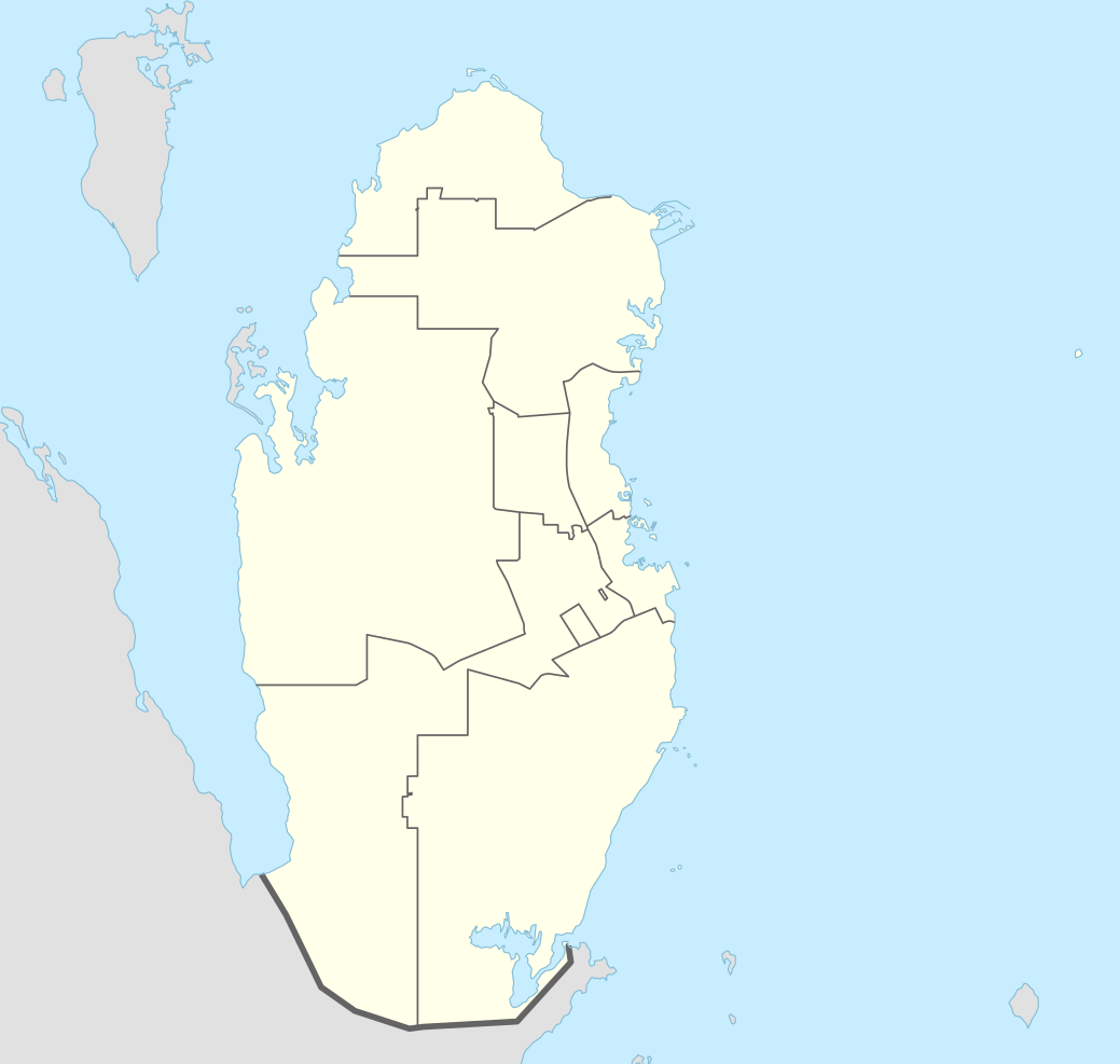
English: Location map of Qatar
|
||||||||||||
| Deiziad | |||||||||||||
| Mammenn |
Own work using:
|
||||||||||||
| Aozer | NordNordWest | ||||||||||||

|
This map has been made or improved in the German Kartenwerkstatt (Map Lab). You can propose maps to improve as well.
|
Aotre-implijout
Usage of this file with:

explanatory notes: Legally binding is only the full legalcode. For a free usage I recommend to respect the following licence conditions:
1. Provide my name as given above: NordNordWest,
2. a copy of, or the URI for, the applicable license: https://creativecommons.org/licenses/by-sa/3.0/de/legalcode,
3. the title of the work,
4. in the case of an adaptation, a credit identifying the use of the work in the adaptation.
This license and the rights granted hereunder will terminate automatically upon any breach by you of the terms of this license. Any of the above conditions can be waived if you get permission from the copyright holder. If you have questions or wish differing conditions, please contact me through nnwest or my discussion page ![]() t-online.de
t-online.de
- Gallout a rit :
- eskemm – eilañ, skignañ ha treuzkas an oberenn-mañ
- kemmañ – azasaat an oberenn-mañ
- diouzh ma heuilhit kement-mañ :
- deroadenn – Rankout a rit reiñ an titouroù perc'henniezh rekis diwar-benn an aozer, pourchas ul liamm war-zu an aotre-implijout ha merkañ hag-eñ ez eus bet graet kemmoù. Gallout a rit en ober en un doare reizh met hep lakaat da grediñ ez oc'h bet aprouet gantañ pe ez eo aprouet gantañ implij an oberenn-mañ.
- eskemmañ rik-ha-rik – Ma tegasit kemmoù, ma treuzfurmit pe ma savit un dra bennak diwar an oberenn-mañ e rankit skignañ an oberenn krouet ganeoc'h dindan an hevelep aotre-implijout pe un aotre-implijout kar-tost d'an hini orin.

Istor ar restr
Klikañ war un deiziad/eur da welet ar restr evel ma oa da neuze.
| Deiziad/Eur | Munud | Mentoù | Implijer | Notenn | |
|---|---|---|---|---|---|
| red | 21 Ebr 2022 da 05:16 | | 1 039 × 987 (60 Kio) | Spesh531 | November 2021 border changes on the southern shore of Khawr al Udayd |
| 18 Her 2016 da 09:38 |  | 1 039 × 987 (60 Kio) | NordNordWest | corr | |
| 13 Du 2014 da 14:25 |  | 1 039 × 987 (50 Kio) | NordNordWest | == {{int:filedesc}} == {{Information |Description= {{de|1=Positionskarte von Katar}} {{en|1=Location map of Qatar}} {{Location map series N |stretching=110 |top=26.3 |bottom=24.4 |left=50.3 |right=52.5 }} |Source={{Own using}} * United States National... |
Implij ar restr
Implijout a ra ar bajenn da heul ar restr-mañ :
Implij hollek ar restr
Ober a ra ar wikioù da-heul gant ar restr-mañ :
- Implij war af.wikipedia.org
- Implij war an.wikipedia.org
- Implij war ast.wikipedia.org
- Implij war azb.wikipedia.org
- Implij war az.wikipedia.org
- Implij war ban.wikipedia.org
- Implij war bcl.wikipedia.org
- Implij war bn.wikipedia.org
- Implij war bs.wikipedia.org
- Implij war ca.wikipedia.org
- Implij war ckb.wikipedia.org
- Implij war da.wikipedia.org
- Implij war de.wikipedia.org
Gwelet muioc'h eus implij hollek ar restr-mañ.