
Restr:Australien, karta, Nordisk familjebok Kap Leeuwin.jpg

Ment ar rakweled-mañ : 702 × 600 piksel. pizhderioù all : 281 × 240 piksel | 562 × 480 piksel | 899 × 768 piksel | 1 156 × 988 piksel.
Restr orin (1 156 × 988 piksel, ment ar restr : 546 Kio, seurt MIME : image/jpeg)
![]()
| Tennet eo ar restr-mañ eus Wikimedia Commons ha gallout a ra bezañ implijet evit raktresoù all. Diskouezet eo deskrivadur he fajenn zeskrivañ amañ dindan. |
Diverradur
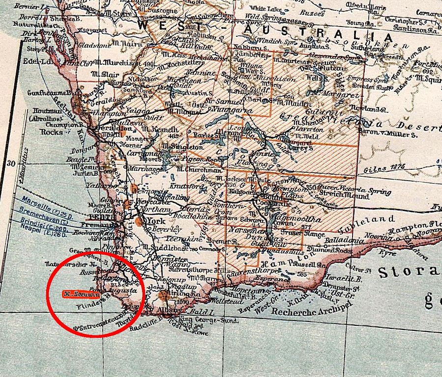
| Deskrivadur | southwestern part of Australia, indicating Cape Leeuwin. From a pre-1904 map. |
| Deiziad | before 1904 |
| Mammenn | https://runeberg.org/nfbb/0252.html |
| Aozer | unknown; editing by Ibn Battuta |
| Stummoù all | map before cropping (= entire Australia) and without marker: Image:Australien, karta, Nordisk familjebok.jpg |
This image was first published in the 1st (1876–1899), 2nd (1904–1926) or 3rd (1923–1937) edition of Nordisk familjebok. The copyrights for that book have expired and this image is in the public domain, because images had no named authors and the book was published more than 70 years ago.
|
This image (or other media file) is in the public domain because its copyright has expired and its author is anonymous.
This applies to the European Union and those countries with a copyright term of 70 years after the work was made available to the public and the author never disclosed their identity. Important: Always mention where the image comes from, as far as possible, and make sure the author never claimed authorship. |
 | |
 |
Note: In Germany and possibly other countries, certain anonymous works published before July 1, 1995 are copyrighted until 70 years after the death of the author. See Übergangsrecht. Please use this template only if the author never claimed authorship or their authorship never became public in any other way. If the work is anonymous or pseudonymous (e.g., published only under a corporate or organization's name), use this template for images published more than 70 years ago.
For a work made available to the public in the United Kingdom, please use Template:PD-UK-unknown instead.
|
Istor ar restr
Klikañ war un deiziad/eur da welet ar restr evel ma oa da neuze.
| Deiziad/Eur | Munud | Mentoù | Implijer | Notenn | |
|---|---|---|---|---|---|
| red | 8 Ebr 2007 da 08:59 | | 1 156 × 988 (546 Kio) | Ibn Battuta | red markers, should be more visible |
| 8 Ebr 2007 da 08:50 |  | 1 156 × 988 (545 Kio) | Ibn Battuta | {{Information |Description=southwestern part of Australia, indicating Cape Leeuwin. From a pre-1904 map. |Source=http://runeberg.org/nfbb/0252.html |Date=before 1904 |Author= |Permission= |other_versions=map before cropping (= entire |
Implij ar restr
Implijout a ra ar bajenn da heul ar restr-mañ :
Implij hollek ar restr
Ober a ra ar wikioù da-heul gant ar restr-mañ :
- Implij war de.wikipedia.org
- Implij war sv.wikipedia.org